Environment Agency issues flood warnings for Wakefield and Kirklees after heavy persistent showers
and live on Freeview channel 276
Areas of Wakefield and and Kirklees are now subject to flood alerts issued by the Environment Agency and the Met Office, meaning that flooding is possible within the next few days.
Three flood alerts affecting the Wakefield district are currently in place with one in Kirklees.
What is a flood alert?
Advertisement
Hide AdAdvertisement
Hide Ad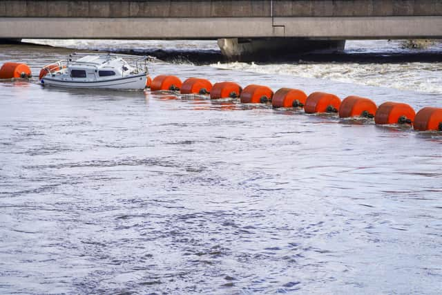

The Environment Agency issues three levels of flood warnings: alerts, warnings and severe warnings.
People who live in flood alert areas are encouraged to pack a bag including medicines and insurance documents, and check the relevant warnings frequently during the winter months.
Where are Wakefield's flood alerts?
The Environment Agency (EA) has warned that flooding is possible in Ings Beck and Oakenshaw Beck, which includes part of Alverthorpe Beck and Balne Beck.
Issuing the alert, the EA said: "We currently expect rivers to peak in the early hours of Tuesday morning (1/11/2022).
Advertisement
Hide AdAdvertisement
Hide Ad"We will continue to monitor the forecast and re-issue this alert if necessary.
"Please avoid using low lying footpaths and any bridges near local watercourses and do not attempt to walk or drive through flood water.
"Please be aware that localised surface water flooding is possible.”
A separate warning, for the lower River Calder catchment, also covers sections of Castleford, Normanton and Wakefield has been issued.
Advertisement
Hide AdAdvertisement
Hide AdAreas of Chickenley Beck, Spring Mill Beck and Waindike are among those areas of risk at flooding.
Where are Kirklees’ flood alerts?
There is currently one flood risk alert in Kirklees with river levels that are expected to rise on Batley Beck, Chickenley Beck, Lands Beck, River Spen and Blacup Beck due to heavy, persistent showers.
Areas most at risk include The River Spen, Blacup Beck, Lands Beck and Canker Dyke in Cleckheaton and Liversedge, Batley Beck from Birstall to Dewsbury, and Chickenley Beck.
The EA said: “River levels are expected to rise on Batley Beck, Chickenley Beck, Lands Beck, River Spen and Blacup Beck due to heavy, persistent showers.
Advertisement
Hide AdAdvertisement
Hide Ad"We will continue to monitor the forecast and re-issue this alert if necessary.
"Please avoid using low lying footpaths and any bridges near local watercourses and do not attempt to walk or drive through flood water.”