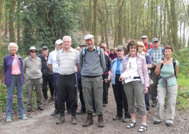
Ramblers are mapping the 75-mile Wakefield Way


The district’s branch of the Ramblers is doing 24 separate walks over the summer which they hope will form the official Wakefield Way.
The route could be put on the Ordnance Survey map to help draw tourists to the district.
Advertisement
Hide AdAdvertisement
Hide AdRamblers began walking the route last Saturday at Anglers Country Park and will resume this Saturday from Newmillerdam at 10am.
The 75-mile route will cover parts of the district including Bretton, Ackworth, South Elmsall Thorpe Audlin and Rothwell.
Derek Lowery, secretary of the Wakefield Ramblers branch, said: “We had 31 people there last Saturday, which is more than we expected.”
The Wakefield Way was originally launched in 2004 but is being revised because parts of the route were not public rights of way.
Mr Lowery added: “We are hopeful of getting it on the Ordnance Survey.”
For details of the 24 walks log on to ramblersyorkshire.org