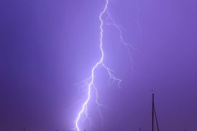
Severe thunderstorm warning issued for Wakefield district
and live on Freeview channel 276
The Met Office has issued a Yellow Thunderstorm Warning across much of the UK this morning (Monday, August 10).
Warning of a risk of flooding, disruption to travel and a chance of power cuts, the warning will remain in place in Wakefield until midnight on Thursday.
Advertisement
Hide AdAdvertisement
Hide AdBut the Met Office said there was "significant uncertainty" in the location and timing of the storms.

In Wakefield, temperatures are expected to stay in the high 20s, reaching 29°C on Wednesday afternoon before falling to around 22°C on Friday.
The full forecast for the district is as follows:
Monday, August 10
Cloudy in some places, with showers possible in the morning, before becoming brighter in the afternoon. Highs of 27°C. Potentially prolonged and thundery showers into the evening.
Tuesday, August 11
Cloudy with heavy, potentially thundery showers, brighter towards the east. Later in the day, storms will ease for a dry, bright and warm evening. Maximum temperature of 28°C.
Wednesday, August 12
Advertisement
Hide AdAdvertisement
Hide AdLight rain through the night before a dry, cloudy morning, giving way to a warmer, brighter evening. Maximum temperatures of 28°C.
Thursday, August 13
Met Office warns of "uncertainty" in forecast later in the week. A cloudy morning eases into a warm, bright afternoon, with a chance of showers in the evening. Highs of 26°C, lows of 16°C.
Friday to Saturday
Clouds to return, with frequent showers and spells of sunshine. Highs of 22°C, lows of 14°C.
Comment Guidelines
National World encourages reader discussion on our stories. User feedback, insights and back-and-forth exchanges add a rich layer of context to reporting. Please review our Community Guidelines before commenting.