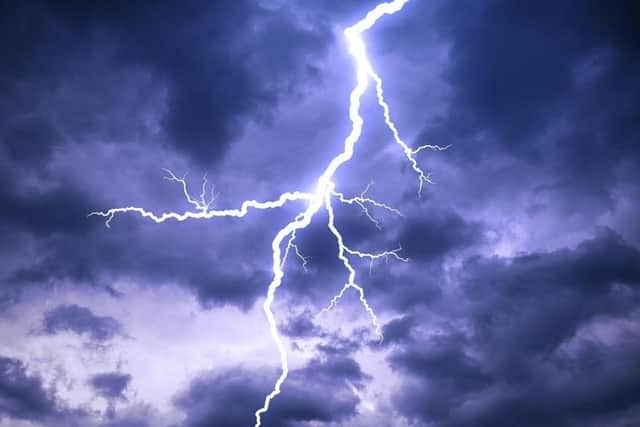
Weather warning for Wakefield as thunderstorms are set to hit
and live on Freeview channel 276
The Wakefield district is se to stay dry until later this afternoon with a thunderstorm predicted to hit at around 4pm.
Temperatures will remain high at around 27C.
The Met Office says torrential rain and hail are likely to affect some areas, but still plenty of brighter or sunny spells between these thundery downpours. Gusty winds are also possible. Maximum temperature 31 °C.

Tonight:
Advertisement
Hide AdAdvertisement
Hide AdA rather cloudy and warm night with further showers and thunderstorms affecting much of the region. Drier across Humberside later. Winds remaining mostly light. Minimum temperature 14 °C.
Saturday:
Breezier for Saturday with some rain and showers, occasionally heavy with a likelihood of thunderstorms in the afternoon. Maximum temperature 22 °C.
Outlook for Sunday to Tuesday:
Sunday and Monday cooler and mostly cloudy with outbreaks of rain. Drier in the east but windy with a risk of gales. Tuesday much drier and brighter with lighter winds.