When will it stop snowing in Wakefield, Pontefract and Castleford? Full forecast as amber weather warning issued for district
and live on Freeview channel 276
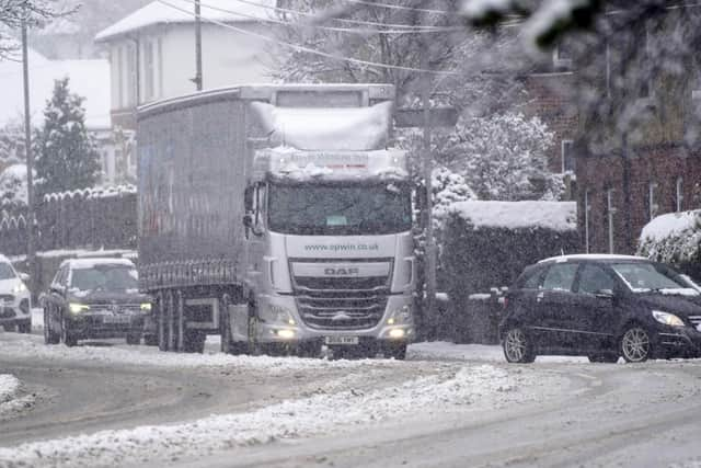
Thousands of people woke this morning to find a blanket of snow across their gardens.
And the Met Office has issued an amber weather warning as a result of the snow, on top of an existing yellow warning for snow and ice.
Advertisement
Hide AdAdvertisement
Hide AdBut what do the weather warnings mean, and when might it stop snowing?

This is everything you need to know about snow in Wakefield.
What is an amber weather warning?
A yellow weather warning had been in place across Wakefield and West Yorkshire for several days, but following a night of snow, this has now been upgraded to an amber warning.
According to the Met Office, this means travel delays are likely, and some vehicles and passengers may become stranded.
Advertisement
Hide AdAdvertisement
Hide AdDelays to rail and air travel are likely, and there is a good chance that some rural communities could become cut off.
Power cuts are also possible, and other services, such as mobile phone coverage, may be affected.
The warning came into place across Wakefield and Leeds at 3am today (Tuesday, February 2), and will remain in place until 1pm.
A yellow warning for snow and ice will also be in place until the end of the day.
When will it stop snowing in Wakefield?
Advertisement
Hide AdAdvertisement
Hide AdPerhaps unsurprisingly, temperatures will stay low across the district today, reaching highs of 2°C.
Snow will continue until around 10am, before slowly turning to rain and sleet around midday.
Fog is also forecast to arrive in the early afternoon, before heavy rain sets in around 6pm.
This will continue into the early hours of Wednesday morning, with snow returning to some hilltop areas.
Wednesday will dawn cold and cloudy, with strong winds in the morning.